Digital Eagle VTOL fixed wing drone has the characteristics of long flight time, high speed, long distance and vertical take-off and landing. The drone module designed structure adopts quick lock device, and it can be quickly disassembled to be loaded into the aviation case which is convenient for transportation.
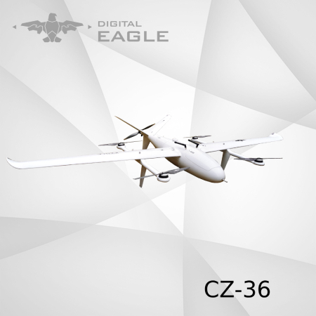
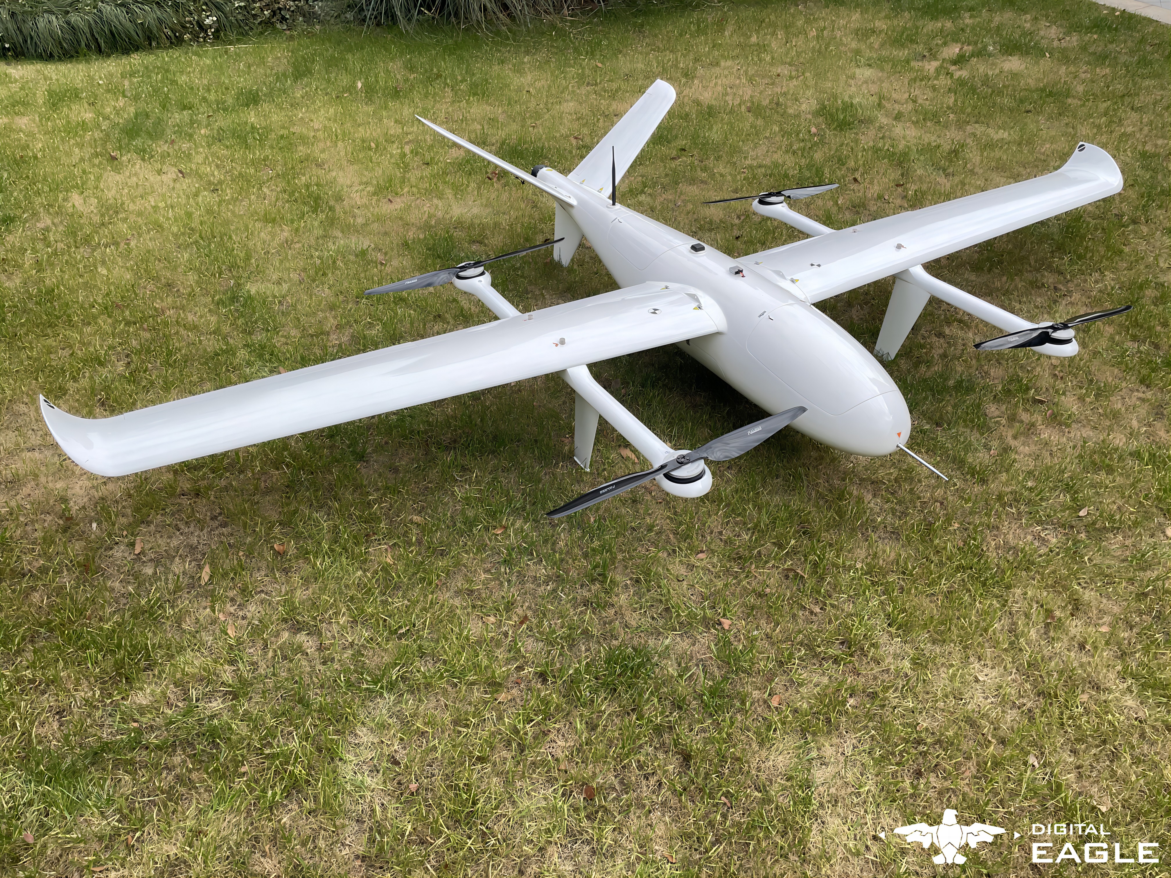
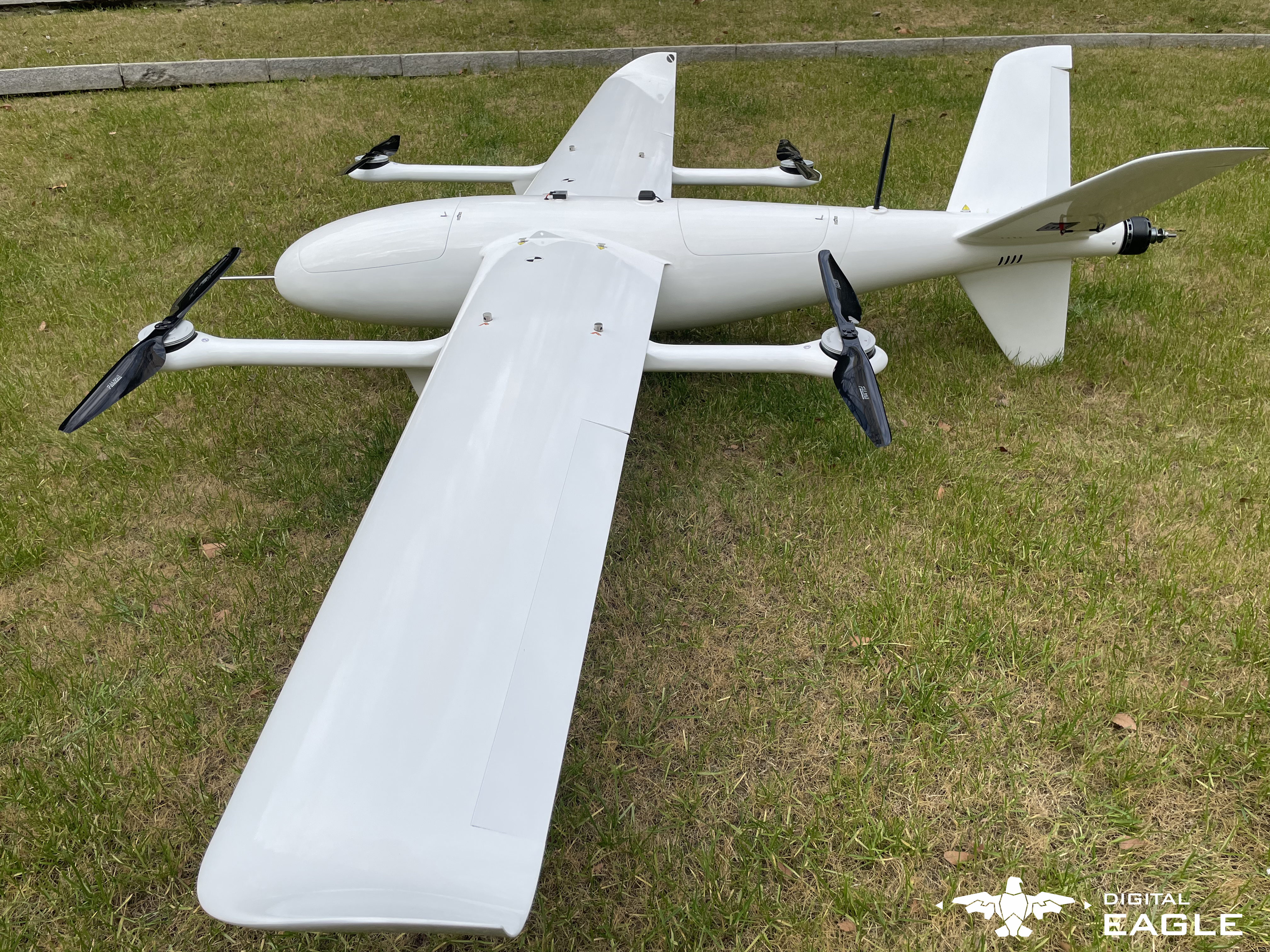
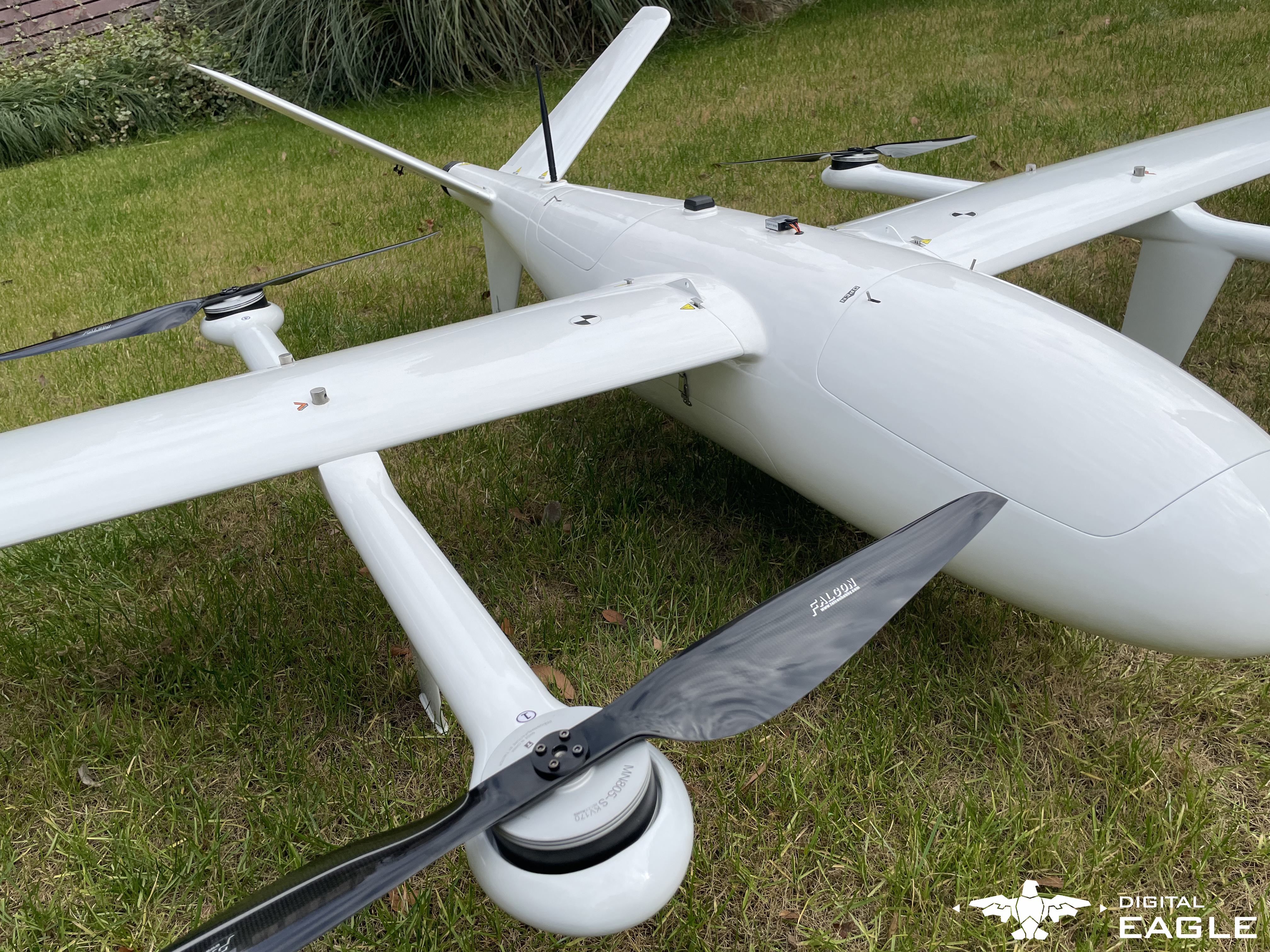
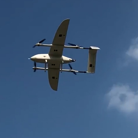
YFT-CZ36 VTOL Fixed Wing Drone/UAV
Digital Eagle VTOL fixed wing drone has the characteristics of long flight time, high speed, long distance and vertical take-off and landing. The drone module designed structure adopts quick lock device, and it can be quickly disassembled to be loaded into the aviation case which is convenient for transportation.
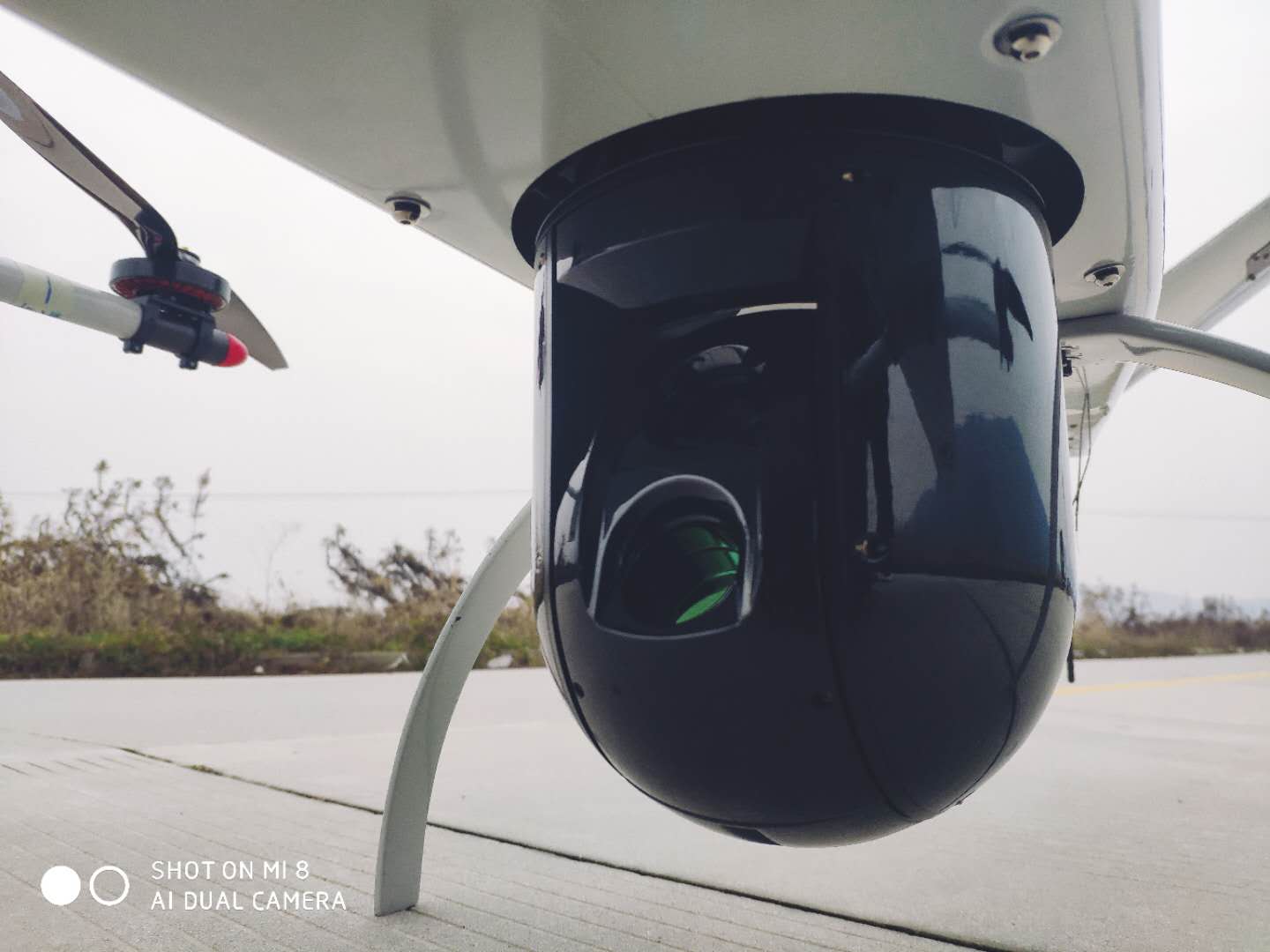
The Electrical VTOL drone can be applied for long range delivery for medicine and emergency cargo, powerline and oil field patrol, mapping and surveying. All the route planning of the drone can be set in advance or during mission which can make the drone do daily patrol automtically with the preset or temporary routes.
Technical Data Sheet
Max Payload | Depending |
Take-off weight | Depending |
Take-off and landing | VTOL |
Wingspan | 3500 mm |
Cruise control speed | 70-100km/h |
Max climb rate | 5m/s |
Flight Duration | Depending |
Max wind resistance | 8 ~ 13.8m/s |
Max speed at sea level | 120km/h |
Working altitude | <4000m |
Power System | Battery |
Support the fixed wing vertical takeoff and landing : greatly reduce dependence on the site, ejection rack, parachute, etc., and the operating site is wide adapted.Dual-redundancy GNSS positioning.
Out of control return, Flight direction Lock, law battery alarm and data recorder.Manual stability, autonomous take-off/landing,flying attitude stability/GPS attitude stability
Built-in black box data recording function, can be recorded about 60 minutes of flight data. Support for connecting external data loggers, Record up to 2000 hours of flight data.
support real-time monitor height and distance,GPS star number, flight status real-time dispay.Real-time display flying height, distance, heading angle.Support the fist view monitoring
DE has developed all-round, multi-level UAV moitoring system, which has participated in the police anti-terrorism task in many cities. At the same time for civil use, participated in oil fields, mountains and other supervision and patrol tasks.
UAV surveying and mapping the terrain environment is a new technology used in the field of remote sensing for terrain surveying and mapping, and it is also an important step in 3D modeling in urban construction.
DE patrol UAV products. could easily replace complex manual patrol, improve the precision and accuracy of patrol, to insure the operation of power system.
DE UAV has the characteristics of large payload and long endurance. The payload ranges from 1kg to 50kg, which can be customized according to customer needs. Logistics drones are widely used in the logistics field.